

For coastal and view properties, the location is half the price. Aerial photography and drone video show the lot, the view and the neighborhood in a single frame — context that ground-level photography cannot provide.
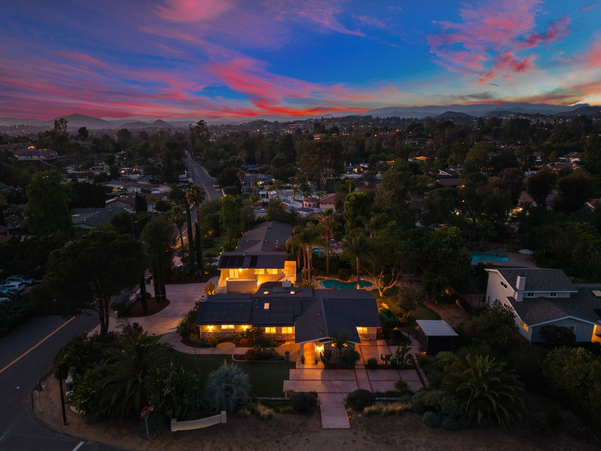
What Aerial Coverage Includes
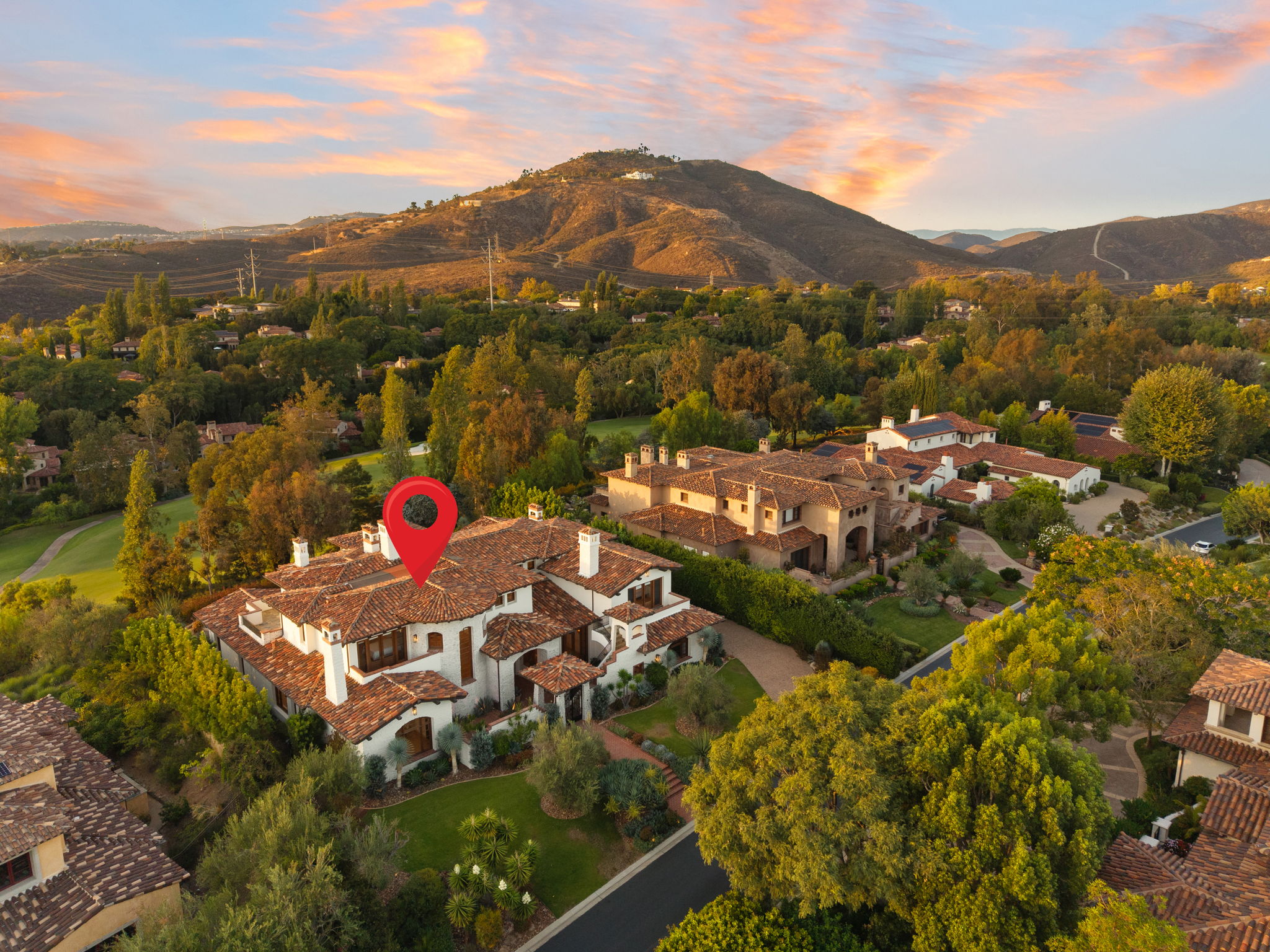
- Aerial stills from multiple angles and altitudes
- Drone video of the property and surroundings
- Proximity shots to the coast, parks or landmarks
- Included in every Full Package
- Aerial photos within 12 hours
- Drone video within 48 hours
When Aerial Matters Most
View and coastal properties
The ocean, the canyon, the skyline — shown from above the roofline where the view actually lives.
Estates and large lots
The full footprint, the landscaping, the pool and the privacy of the parcel in one frame.
Neighborhood context
How close the property sits to the beach, the school or downtown — answered without leaving the listing.
Questions
Is aerial included in the Full Package?
Yes. Aerial photography and drone video are part of every Full Package. Photography with aerial photos is also available as a standalone from $350.
When does aerial add the most value?
Coastal and view properties, large lots and estates, and any listing where the location is a selling point. Buyers want to see the distance to the water and the size of the lot.
Can I get aerial photos without video?
Yes. Photography with aerial photos starts at $350 and includes interior, exterior and aerial stills.
Are drone operations certified?
Commercial real estate drone work requires FAA Part 107 certification. Confirm current credentials with us when booking.
